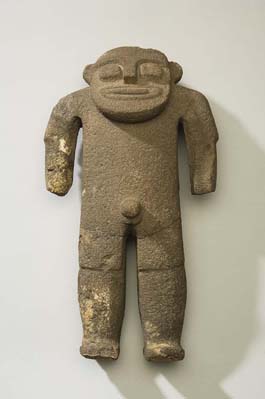
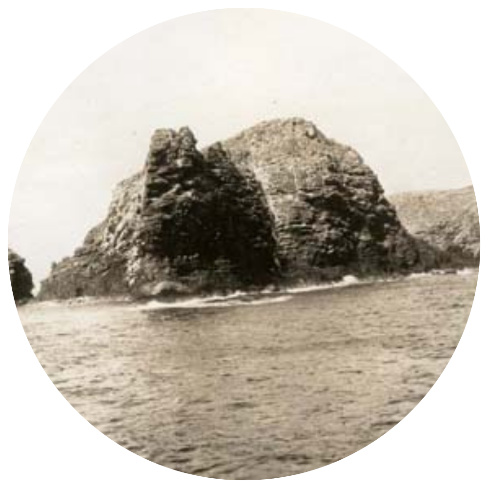
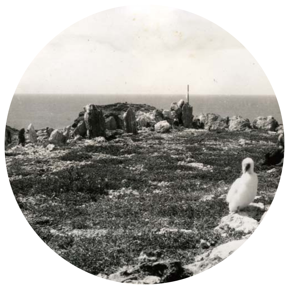
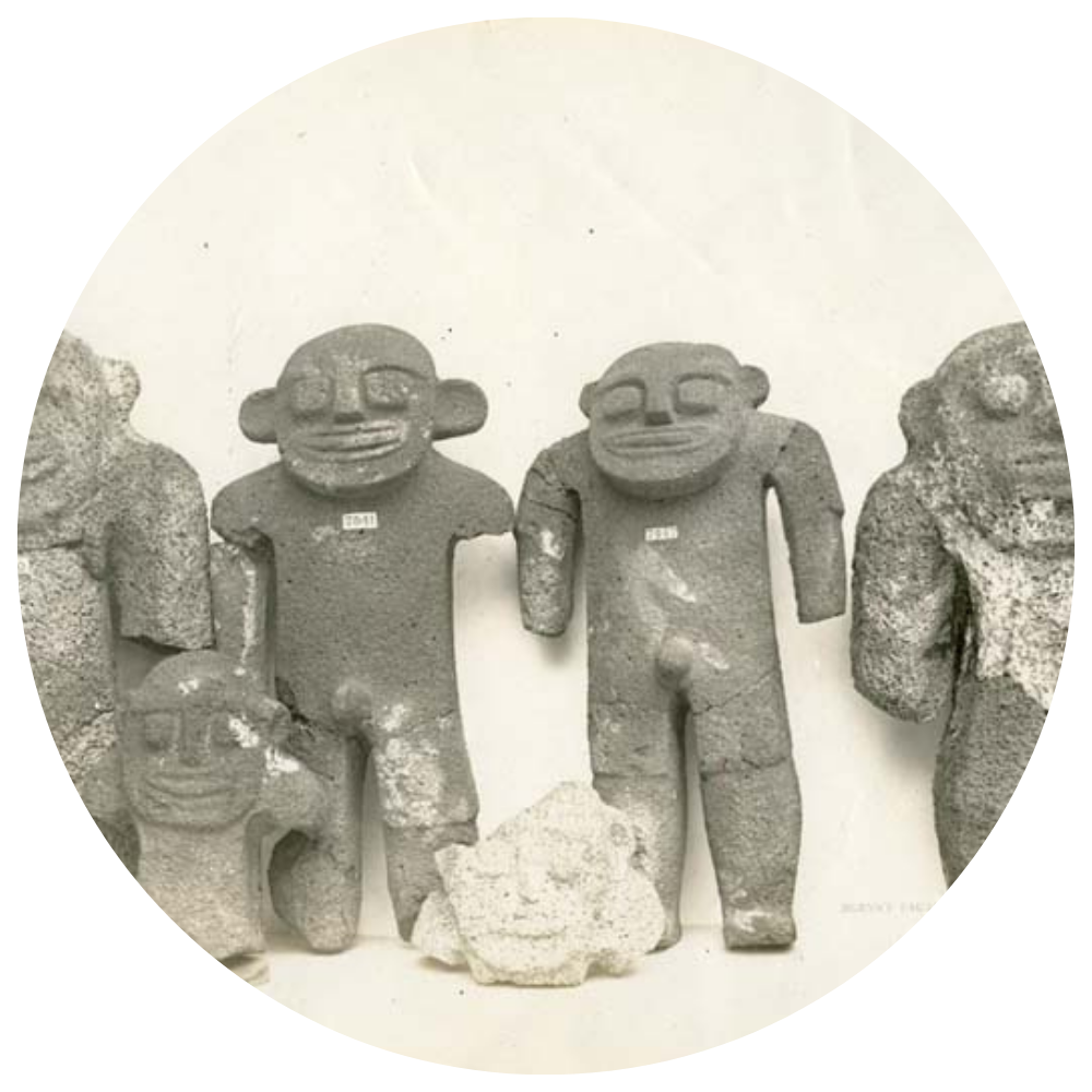
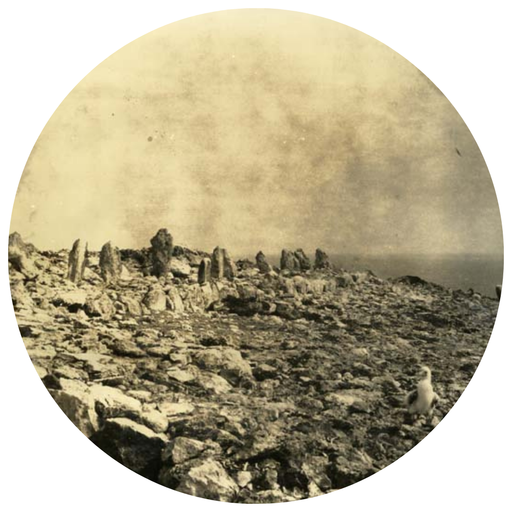
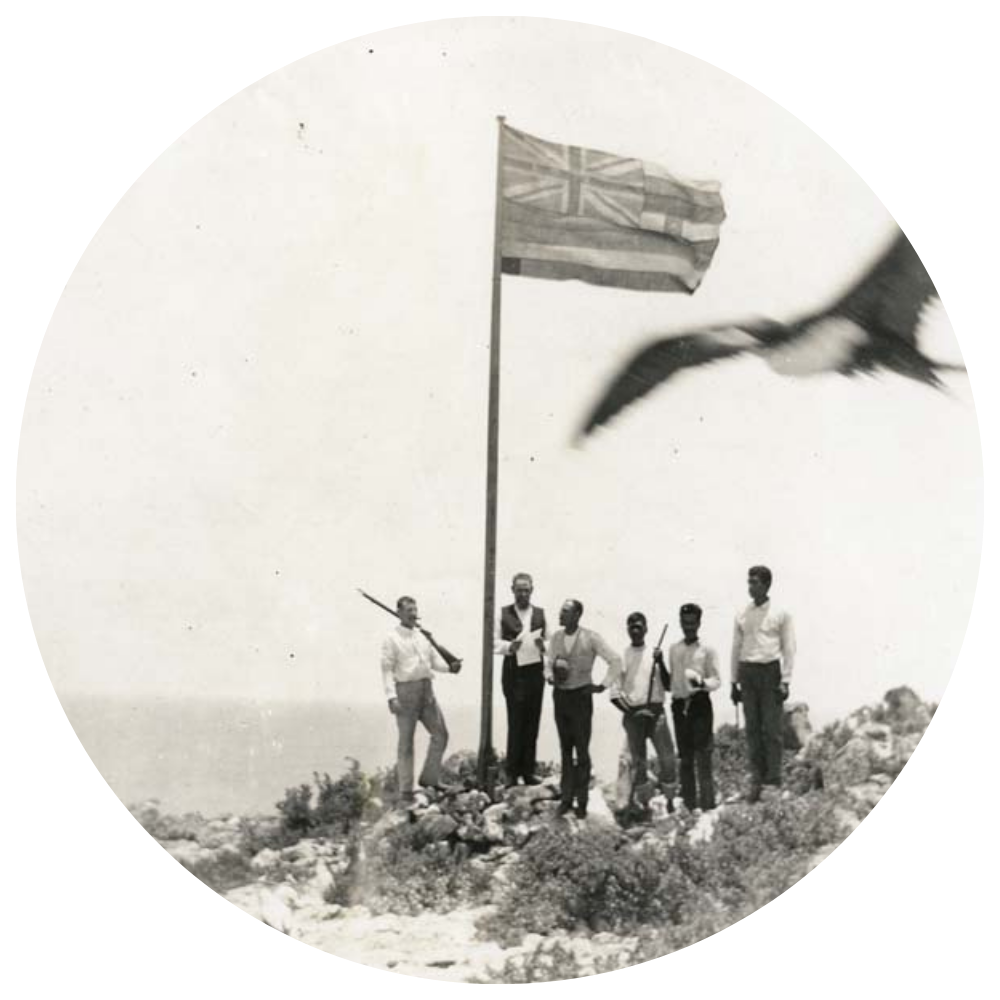
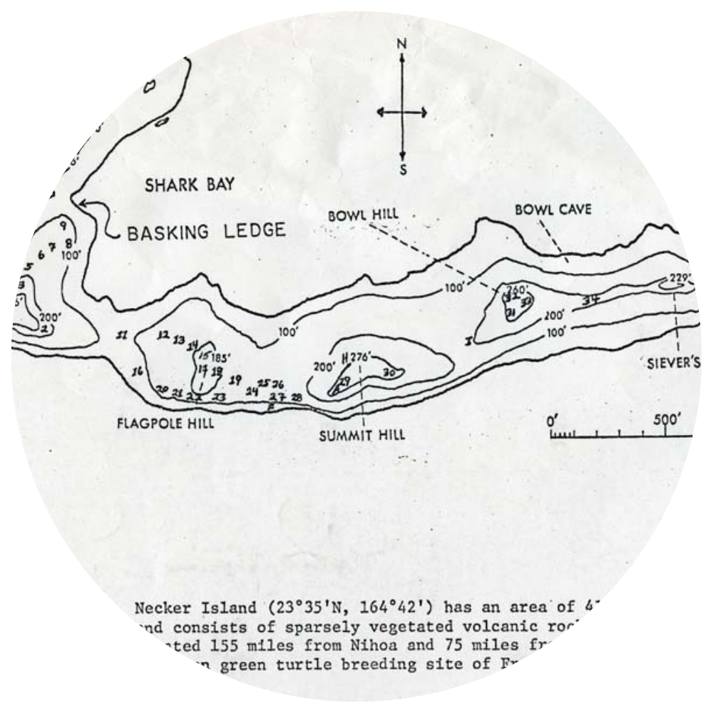
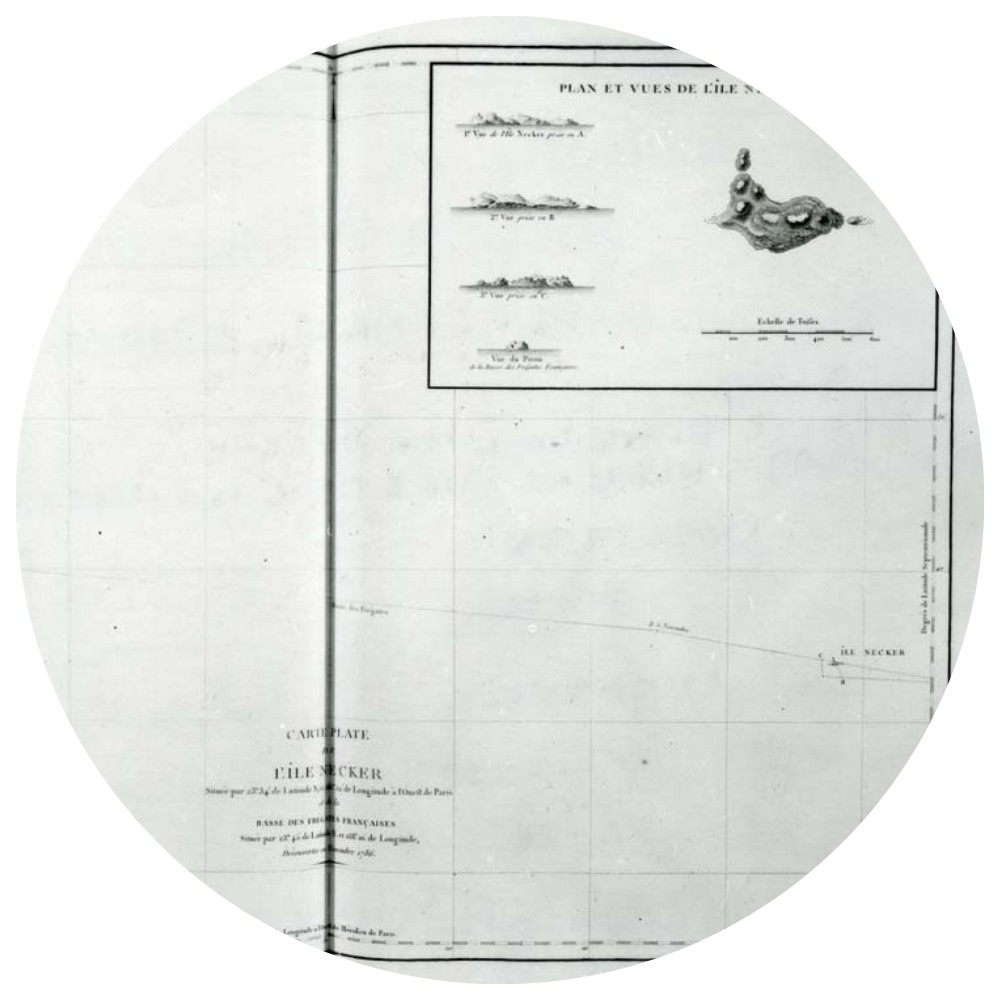
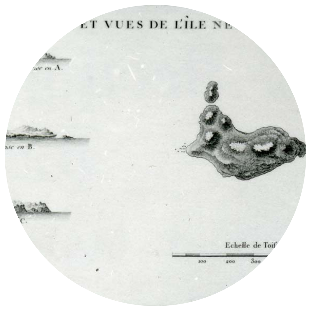
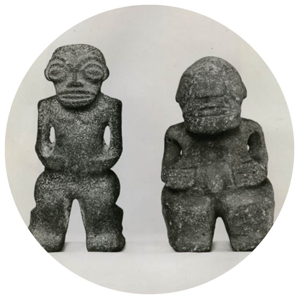
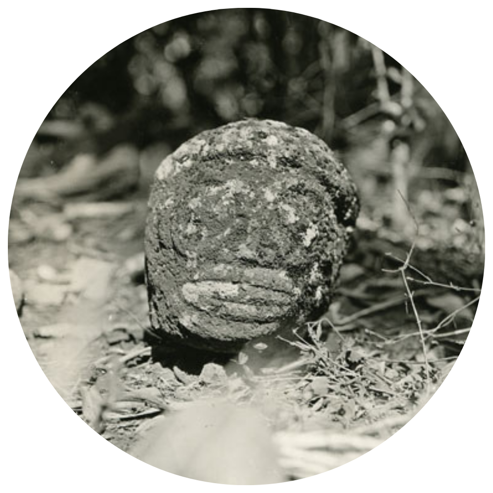
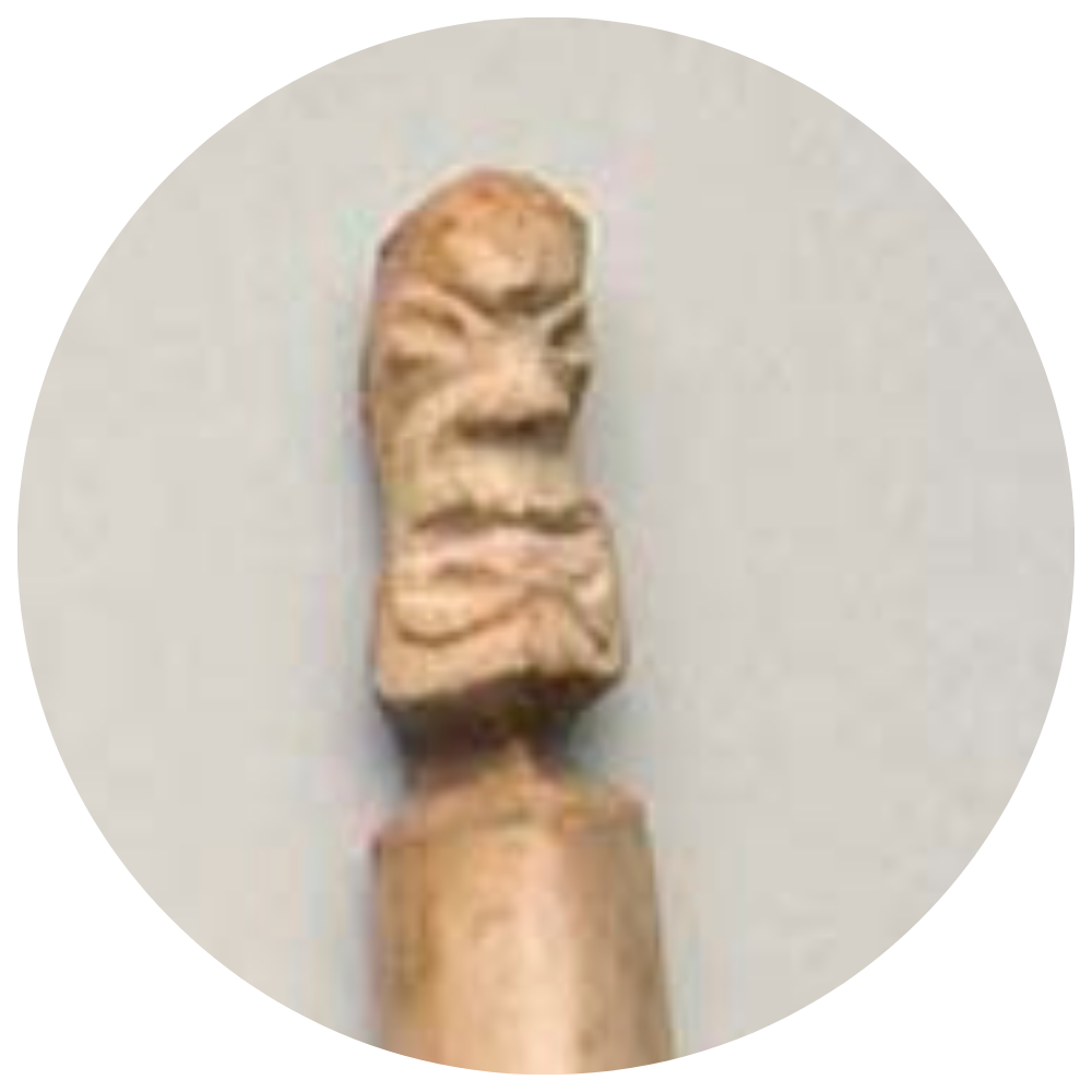
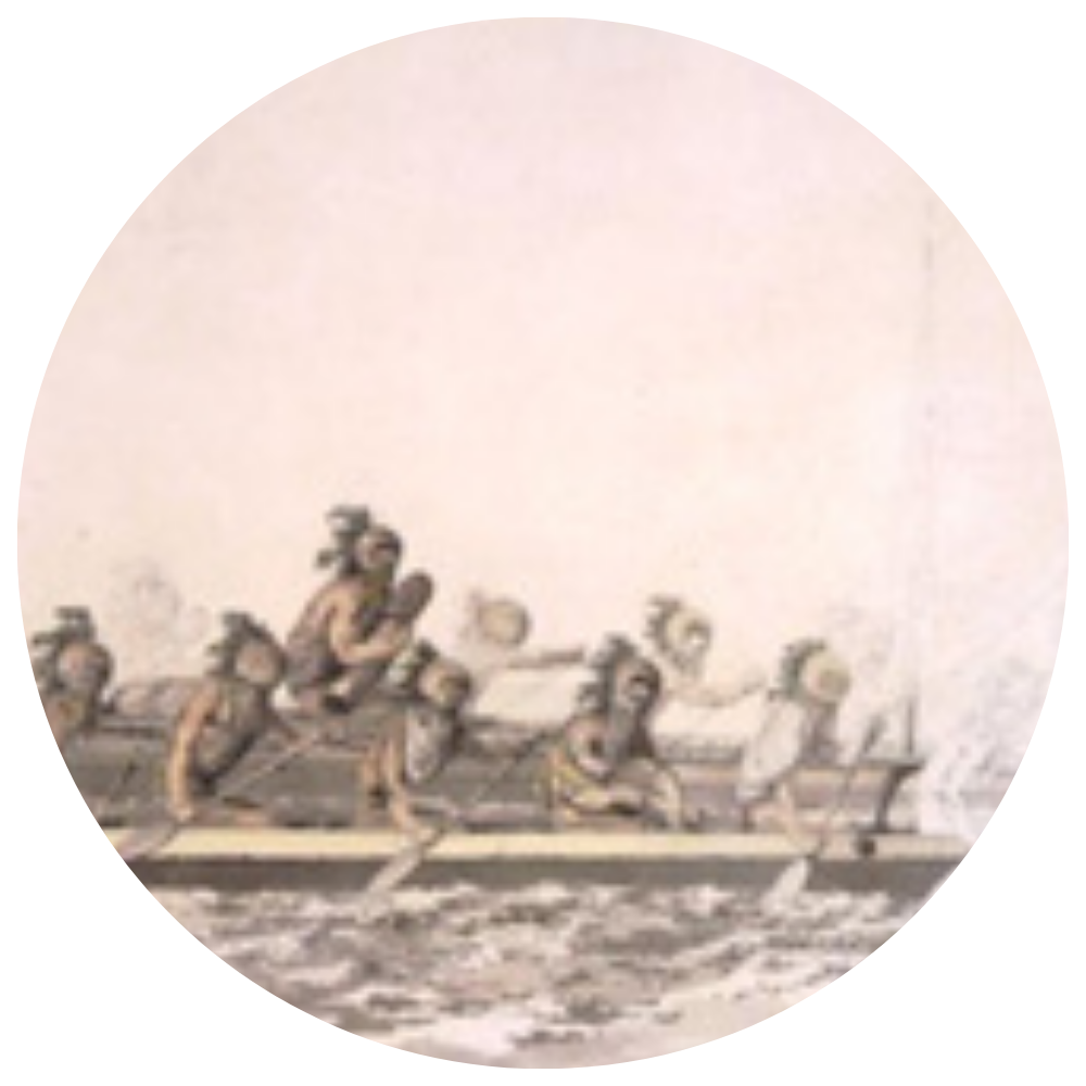
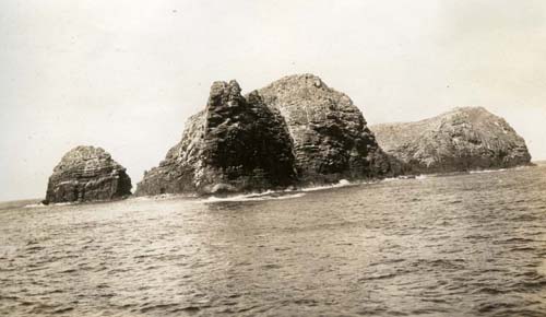
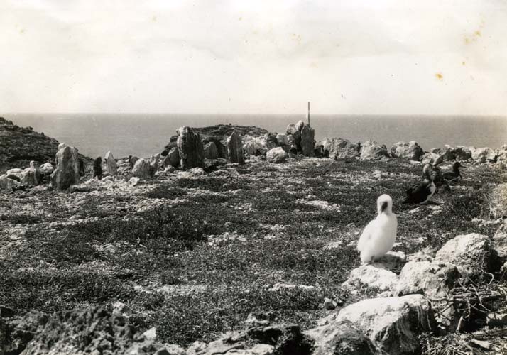
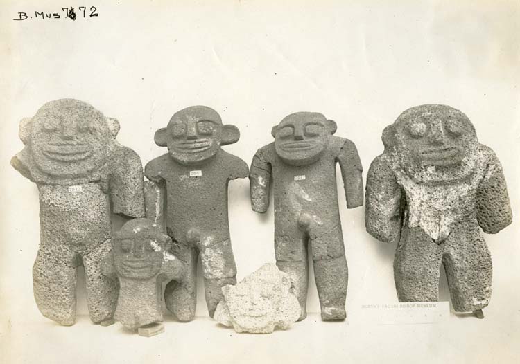
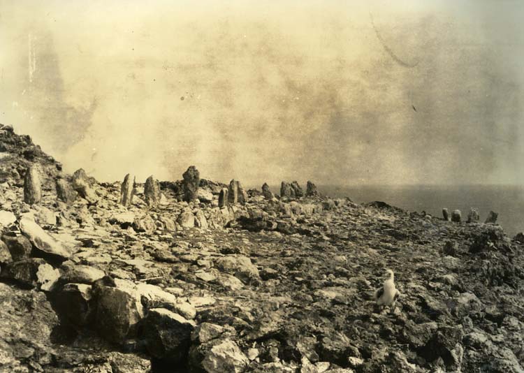
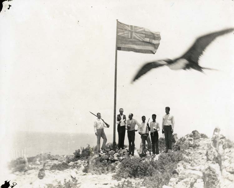
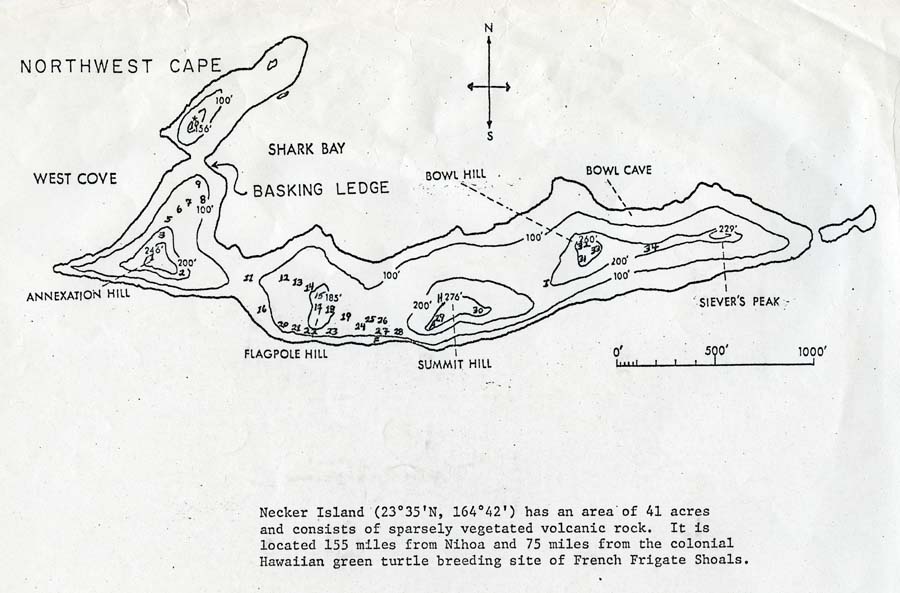
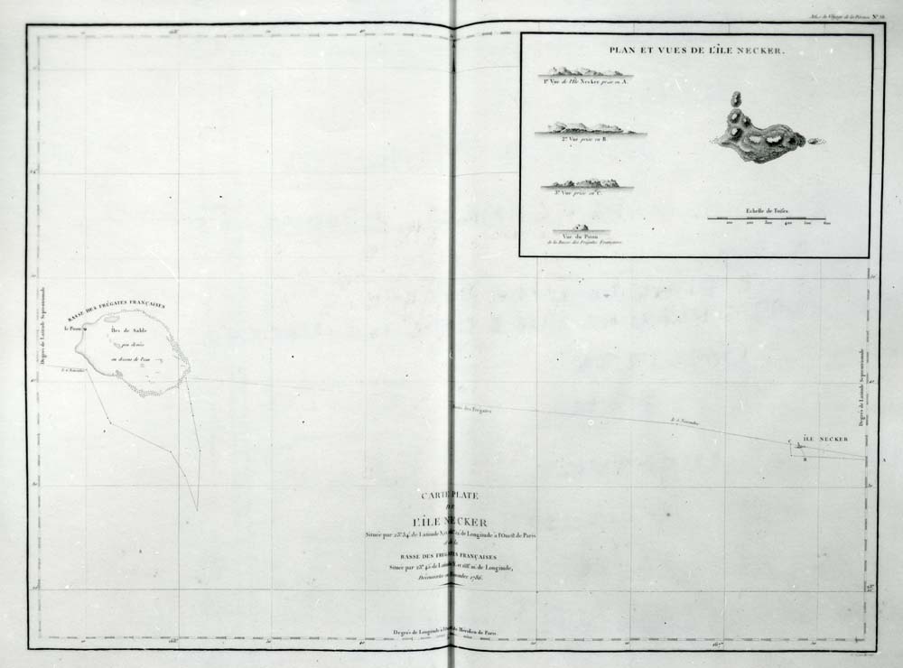
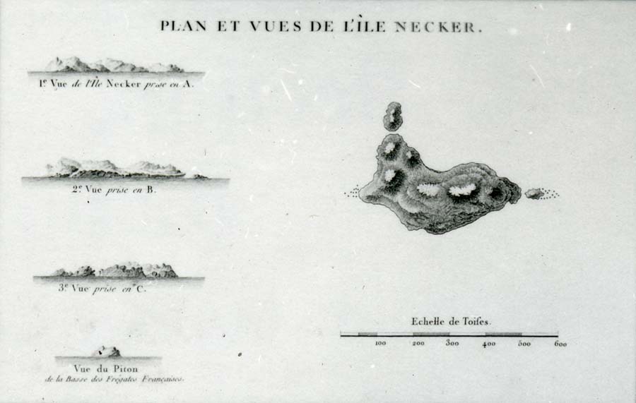
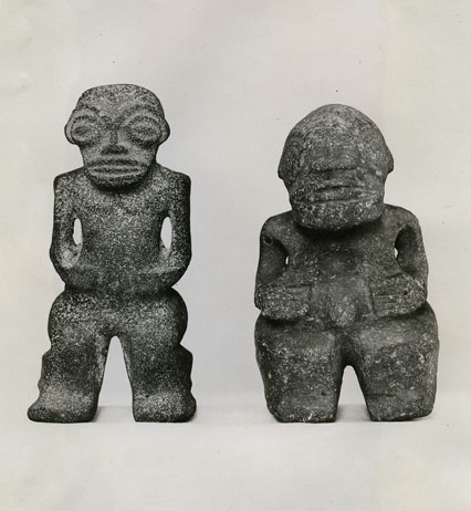
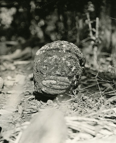
The island of Mokumanamana is the second smallest of the Northwest Hawaiian Islands. Its tiny size (46 acres) however, belies its rich cultural and political history. Initially the island was thought by many to have been perpetually uninhabited because of its sheer cliffs and lack of soil and fresh water. In 1786 French explorer Compte de la Pérouse visited and mapped the island. He assigned the named Necker to the island to honor Jacques Necker, the French finance minister at the time. A new understanding of the island began to form when an 1894 political expedition to the island returned with seven ki‘i pōhaku (stone figures). Later in 1924, a field study of the island led by Dr. Kenneth Emory, the Tanager Expedition, revealed forty nine ancient archeological sites including thirty three religious sites; more than any other island in Hawai‘i by area.
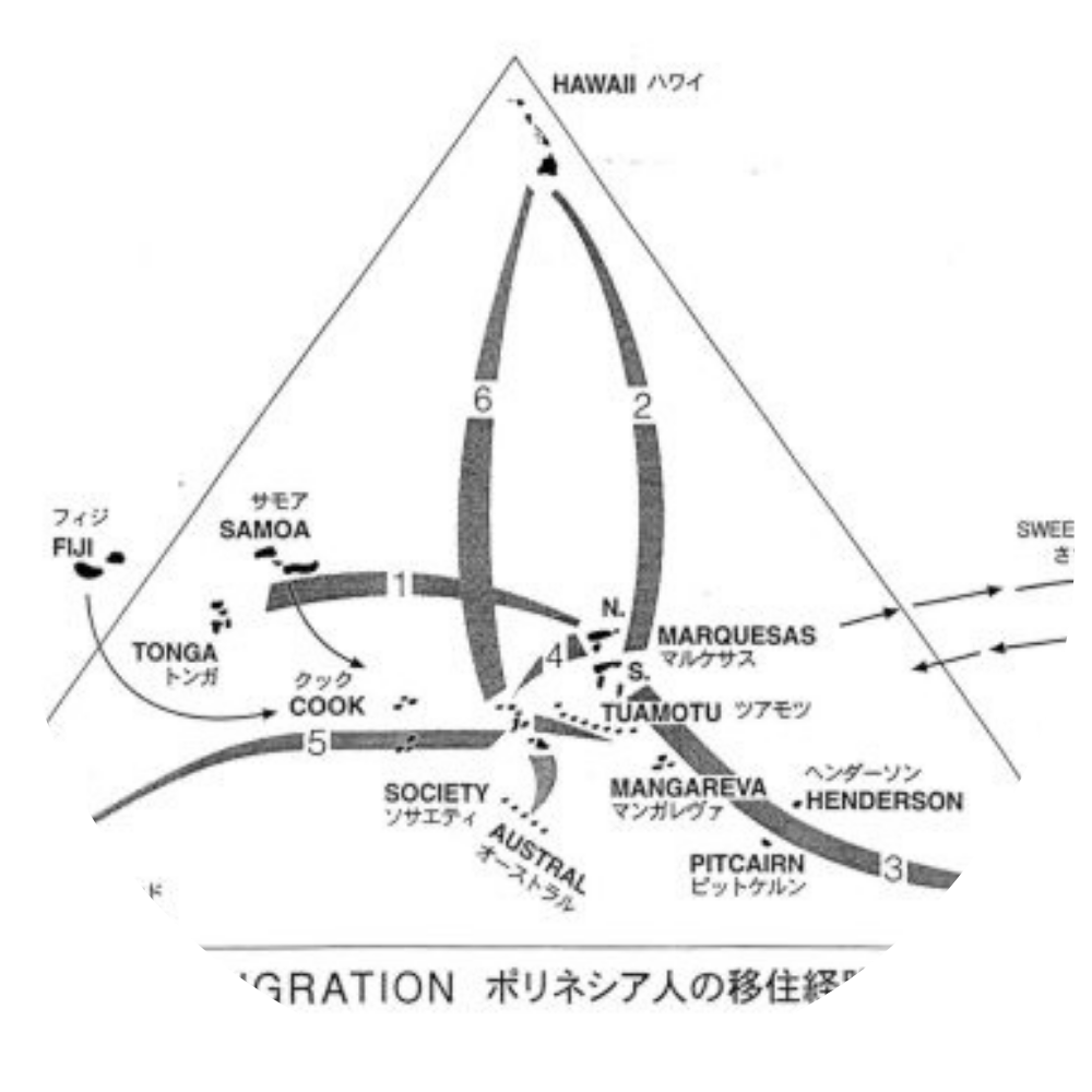
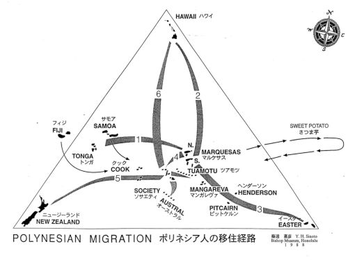
While relatively little is known about the figures or the island itself, several interesting hypothesis have developed. The vesicular basalt stone figures that were found on Mokumanamana were unlike those typically found at other sites within the Hawaiian Islands. Tool marks on the figures were said to indicate construction techniques similar to those created by Marquesan workmanship. Also, the religious shrines found on the island were termed marae by Dr. Emory because of their shape, which was similar to altars of the Tuamotuan Islands. These facts have led some to hypothesize that perhaps Mokumanamana served as one of the important first links between those who had first settled here in the Hawaiian Island chain and their original southern homes. The extremely high density of religious sites on the island, yet lack of suitable climate for long-term habitation, has led to a theory that Kānaka Maoli traveled to this island to perform religious ceremony. Another item of interest in Dr. Emory’s notes is that while these distinctive types of shrines are few in Hawai‘i, similar structures were found atop Mauna Kea, Mauna Loa and Haleakalā. This has led to speculation that Mokumanamana was used for navigational purposes.